The City of Statesboro provides updates to all mapping matters throughout the City. Specifically, the City provides a listing for existing Zoning, Commercial Developments, Large Scale Residential developments, and Land Use Character Areas and Council Districts. Commercial and Residential mapping is updated weekly, while Council Districting and Zoning are updated as needed in response to both zoning map amendments and annexations. Please click the desired area map below.
Residential Development Map
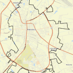
Council District Map
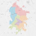
Municipal Zoning Map

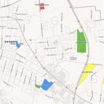
Commercial Development Map